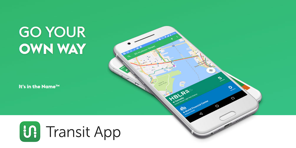
Transit helps people to navigate city’s public transportation with accurate real-time predictions, simple trip planning, step-by-step navigation, service disruption notifications, and departure and stop reminders… Transit is currently available in over 125 cities including NYC, Chicago, Washington DC, LA, SF, Toronto, Montreal, Vancouver and many more across North America & Europe. Below is our interview with Lauren Jane Heller from Transit:

Q: Lauren, how would you describe Transit in your own words?
A: Transit simplifies local travel. It started with the question “when will my ride get here?” and has now grown into a robust transportation app that not only answers that question (instantly, upon launch), but also lets users plan trips, and book other shared transport modes, like bikeshare, carshare and Uber. It makes everything about commuting and travelling in a city much easier.
Q: Could you please give us more insights into Transit’s functionality?
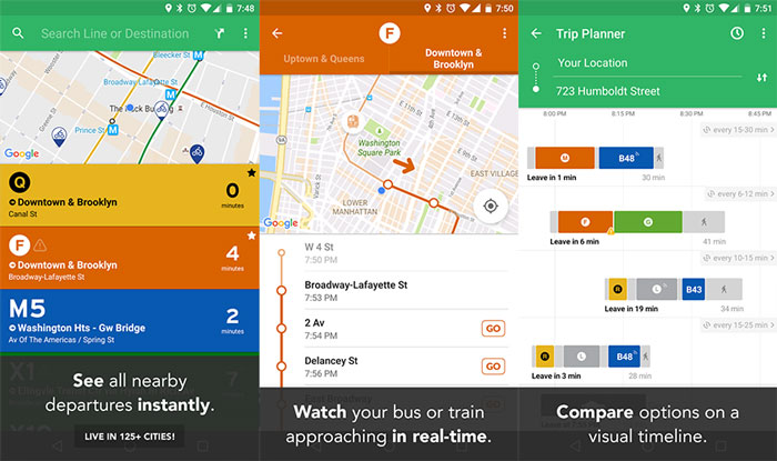
A: A lot of our success stems from a focus on usability and design. Our CEO is a designer, so there’s a lot of attention to detail — where’s the best place to add a certain feature? what’s the most intuitive way to find a route or plan a trip? Our backend is also super powerful, so access to trip data is incredibly fast. We’ve also added real-time data wherever it’s available, so our users know when their bus is actually going to arrive, versus when the schedule says it is.
 Recommended: FinalCode – Easy, Scalable And Persistent Enterprise-Grade File Security
Q: What are your key features?
A: We’ve just added GO—the navigation companion that I mentioned— which is the most advanced GPS navigator for public transportation out there. It sends push and voice notifications to users at every stage of their trip: when to leave, if they need to hurry up because they’re walking too slowly, when to get off the bus or train, and even reroutes the trip if there’s an unexpected delay or detour which causes a missed transfer. Other key features include our nearby mode, which displays the number of minutes you have before the closest buses and trains will depart, as well as the trip planner, reminders, disruption notifications, and of course, the integrations with other transport modes like Uber, car2go and bikeshare.
Q: What regions are included in your application? Do you have some plans for future spreading?
A: Our biggest focus is in North America, but we also have numerous supported cities in Europe, and recently added Australia. Users can actually vote for the next cities to be added on our website.
 Recommended: HotelPlanner Celebrates 14th Year In Business With Over Five Million Unique Visitors A Month
Q: You’ve announced a $2.4 million Seed funding last year; what are your plans?
A: First, we want to improve the precision of our data. Many transit agencies don’t offer real-time, but that’s what our users want. We’ve now reached the scale where we can start producing our own real-time data, so that’s definitely something to look forward to. We also want to be the most reliable source of information when there’s a big storm or disruption in transit, so rather than having to leave your house only to discover that there are no buses running due to the snow, you’ll receive timely notifications through the app. Finally, we’re working to integrate more shared modes into the app, so that city dwellers everywhere can choose the best way to get around based on their needs.
 Recommended: Bitium Raises $6 Million To Lead The Next Generation Of Identity And Access Management
Q: How would you convince the reader to start using Transit?
A: Just try the app. Anyone who uses public transportation knows how annoying it is to have to enter your location and destination in Google Maps, when all you really want to know is when your bus will arrive. We’ve worked hard to make the most user-friendly and accurate public transit app available, and once you’ve started using it, you won’t believe how much easier it makes your life.
Activate Social Media:


